Housing capacity study, Northern Ireland
GENERAL INFORMATION
- Location: Cities in Northern Ireland
- Professional work | AECOM | 2021
GENERAL CONTEXT
A city region study was conducted to identify strategic growth areas and key sites for housing development within some cities in Northern Ireland. The aim of this project is to support the Land Development Agency (LDA) ambition to deliver housing in line with the objectives of the National Planning Framework.
DESIGN PROCESS
The whole design process included different teams, planning, GIS and masterplanning, working together to produce the final outcome. The first phase of this project, mainly involving the planning and GIS teams, included the creation of a baseline to shape the planning, population, economic, infrastructure, education, healthcare, environment and housing context. This information was crucial to help identify the constraints and opportunities for each city region. Later, thEse elements, all summarised in maps, helped identify the key growth areas for each city region. A further investigation was then carried out, by both the planning and masterplanning teams, to create a long list of potential sites for development, within those growth areas, some of which were then short-listed as the most suitable ones for future development.
The role of the masterplanning team becomes more apparent at the next stage, where for each site a set of maps are produced:
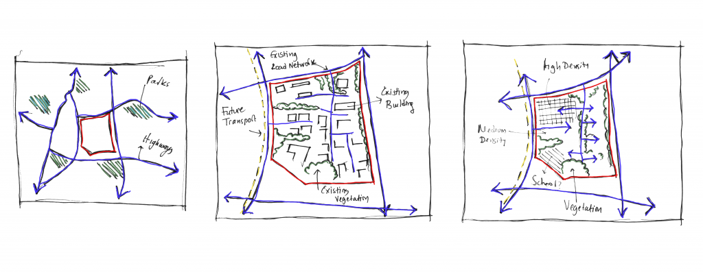
- Site analysis of the site and its wider context. To understand its location or proximity to central areas or transport hubs, the level of accessibility and whether it is a greenfield or brownfield site.
- Zoning and land ownership analysis maps. To understand the zones that have been designated for the site and whether the land is owned by the state or not. ThEse results could determine if a site would be a short or long-term opportunity.
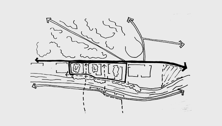
- Constraints and opportunities map. To understand any potential constraint or opportunity that could affect development, like environmental designations, heritage assets, social infrastructure, future transport projects and other existing elements in the site.
- Parameter plan. A high-level conceptual framework to illustrate the proposed road network, pedestrian or cycle links, housing densities (low, medium and high), green spaces, green buffer zones, potential locations for schools and mixed uses.
- High-level capacity test. To understand how many houses could be delivered and the estimated number of the population for the site.
PERSONAL CONTRIBUTION AND THOUGHTS
Working on this project gave me more experience on city-region strategy studies where a more high-level set of tools is required. The focus here was to analyse a set of parameters related to planning, infrastructure, education, healthcare, economy, environment and housing in order to identify key growth areas and later, key sites with development potential. In addition to this, I also developed my skills on producing high-level framework plans and conducting capacity studies to test the development potential for each site. Last, but not least, working with different teams, having to coordinate different streams of information at the same time and implementing every input into design is always a challenging and useful way to practice time management as well as design skills.